A garden suburb by Beechwood
Lindenlea is a small neighbourhood in Rideau-Rockcliffe Ward, northeast of downtown Ottawa. Wikipedia describes it as the city's earliest planned community, dating to 1919, with mature trees, large back yards and green space. Every fact on this site links to its source.
lindenlea.homes is an independent guide to Lindenlea, Ottawa. It maps 15 schools, 30 parks and recreation places and 7 shops and restaurants, each with its source.
Updated · Facts on this page link to their sources
One neighbourhood
Where Lindenlea starts and ends, how it grew, and what is nearby.
For sale now
Each home has its own website; tap through for photos, rooms and the open house.
No homes listed right now
New homes appear here as soon as their websites go live. See recently sold.
Latest guides
Researched from public sources, with every source linked on the page.
- Parks & trails
Parks, rinks and pools
Lindenlea Park, its community centre, and the parks and rinks around it.
Updated October 2026 - Schools
Schools nearby
English and French, public and Catholic, plus independent schools, with boards as listed in OpenStreetMap.
Updated October 2026 - Shops & dining
Beechwood and nearby shops
Groceries, a butcher and a bakery along Beechwood Avenue and nearby streets.
Updated October 2026 - Transit
Downtown and the O-Train
Distance to Parliament Hill, plus the nearest O-Train stations in our data.
Updated October 2026 - Market
The market, honestly
OREB's latest numbers for Ottawa, what they mean, and what they don't.
Updated October 2026
The area at a glance
Lindenlea is bordered by Maple Lane to the north, Acacia Avenue to the east, Beechwood Avenue to the south and Springfield Road to the west (Wikipedia). Nearby parks, schools and shops on this site sit in and around those streets, and some neighbouring communities overlap in practice.
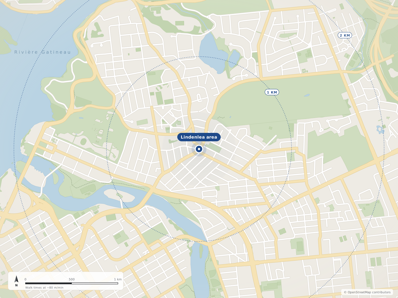
Neighbourhood centres
- 1Lindenlea0 m
The market, honestly
Citywide Ottawa figures from OREB's monthly MLS® report. They describe the whole city, not one neighbourhood.
- $705,100Single-family benchmark price (MLS® HPI)Nearly unchanged from Sept 2025; down 3.0% from August
- 4.4Months of inventory, single-familyAll homes: 4.8, up from 4.1 a year earlier
- $685,640Average sale price, all homesDown 1.0% from Sept 2025
- 1,010Homes sold in SeptemberDown 6.6% from Sept 2025
Figures for September 2026, released October 5, 2026 · Source: oreb.ca
Quick answers
Short answers first; each links to the full answer and its sources.
Is Lindenlea a good place to live?
Lindenlea is a small planned neighbourhood in Rideau-Rockcliffe Ward, northeast of downtown Ottawa and about 3.1 km in a straight line from Parliament Hill. Metro (50 Beechwood Avenue) and a butcher (127 Beechwood Avenue) are on Beechwood, and Lindenlea Park and a community centre are at 15 Rockcliffe Way.
As of 2026-10 · en.wikipedia.org router.project-osrm.org
What schools serve Lindenlea?
Schools mapped near Lindenlea include Trille-des-Bois Public Elementary School (140 Genest Street, CEPEO, French-language), St. Brigid School (200 Springfield Road, Ottawa Catholic School Board) and Rockcliffe Park Public School (350 Buena Vista Road, Ottawa-Carleton District School Board). Fern Hill School (50 Vaughan Street) is also nearby, with its board not confirmed.
As of 2026-10 · openstreetmap.org openstreetmap.org
How far is Lindenlea from downtown Ottawa?
Parliament Hill is about 3.1 km in a straight line from the centre of Lindenlea. By road it is about 4.0 km, or roughly 7 minutes in free-flowing traffic.
As of 2026-10 · router.project-osrm.org openstreetmap.org
What are homes like in Lindenlea?
Lindenlea was planned in the garden suburb style, and most of its homes have large back yards. Upper Lindenlea is the older, Thomas Adams–planned section, while lower Lindenlea includes a mix of 1950s brick apartments, the Champlain Towers complex (built in 1962) and Springfield Mews (built in the 1980s).
As of 2026-10 · en.wikipedia.org
What is the nearest O-Train station to Lindenlea?
Three open O-Train stations are mapped around Lindenlea: Rideau, uOttawa (301 Nicholas Street) and Lees (191 Lees Avenue). Judging by their coordinates, Rideau is the closest to the neighbourhood centre.
As of 2026-10 · openstreetmap.org openstreetmap.org
Where do people in Lindenlea buy groceries?
The closest grocery store mapped to Lindenlea is Metro at 50 Beechwood Avenue. Green Fresh, also mapped as a grocery, is further south, and Muckleston & Brockwell, a butcher, is at 127 Beechwood Avenue.
As of 2026-10 · openstreetmap.org openstreetmap.org